Living Shoreline Suitability Model
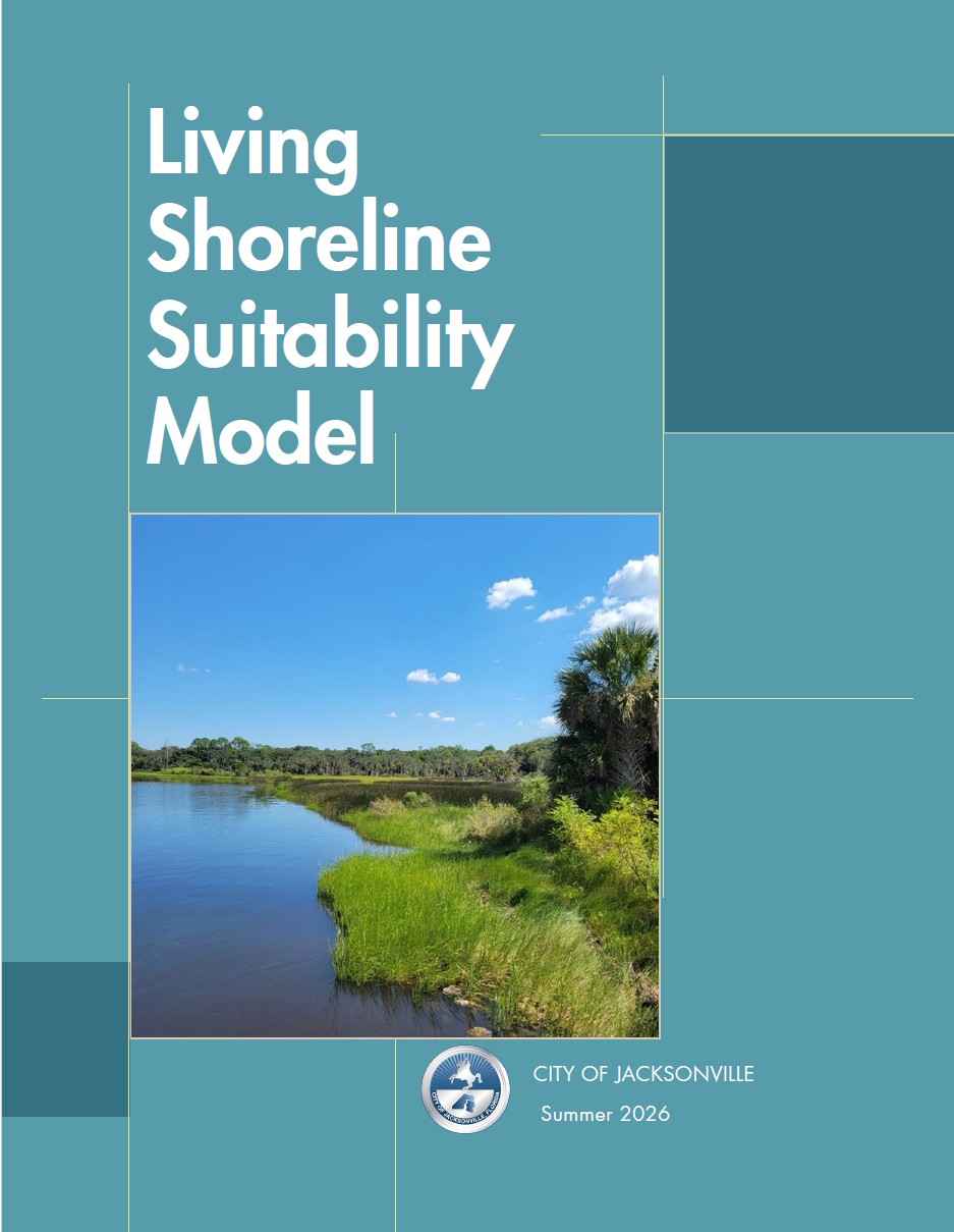 The Office of Resilience developed a geospatial suitability model of over 300 miles of shoreline within the St. John’s River watershed. This project, led internally by city staff, identifies appropriate locations for different shoreline types – from grey solutions like bulkheads to green options like living shorelines – to ensure that shoreline projects are located in areas where they will be most likely to succeed.
View or Download the Study Here